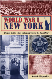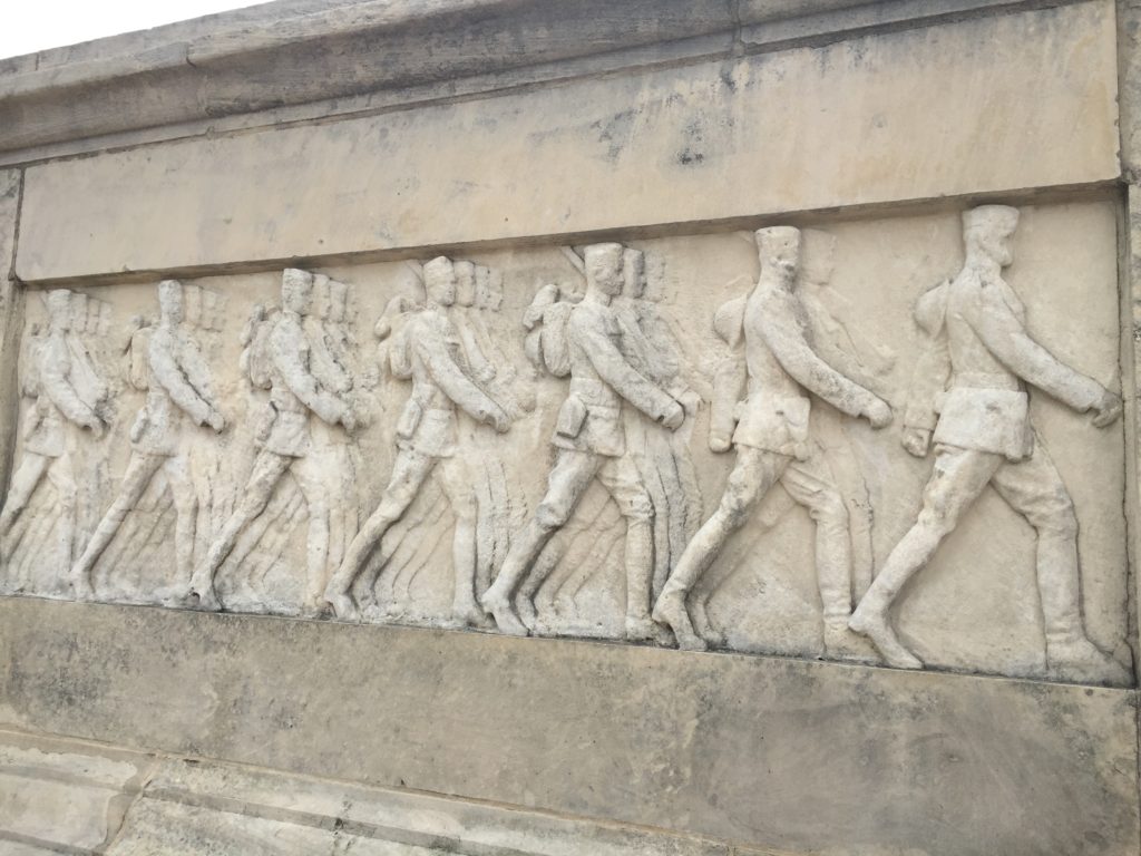
For World War I New York, which you can read about here, I took most of the photos in the book, just as I did the last two. I was racing around the five boroughs. I also went to parts of Long Island and New Jersey. On my last shooting day early last month, I put 70 miles on the car in one day, and I was just in Manhattan, Brooklyn, and Queens. I made special research trips to Staten Island and New Jersey, sometimes just to see two locations. But I felt it was important to the book. I probably took about 1,500 photos and turned in more than 200. Many are archival ones, such as vintage images from the Library of Congress Prints and Photographs collection.

I submitted 12 maps, but I don’t know yet if the editor will use all of them. Some of them, such as Brooklyn and the Bronx, are so spread out that a map would really help.
I am really looking forward to this book coming out. Part of the reason is that I can’t wait to get all of this research out there. Some of it I have been collecting for ten years! The book is coming out the same time as the centennial of America’s entry into World War I, so I hope that a lot of people find out about how important New York was during the war, and how the city remembered the heroes after it was concluded.
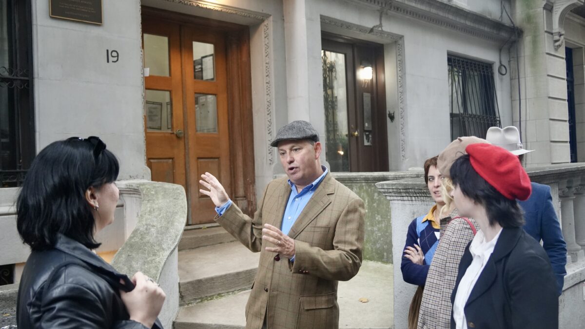
Next spring I’ll be offering a new walking tour of World War I locations.
If you have any questions, comments, or want and advance copy, just drop me a line.
